Politics & Government
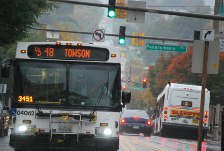
Mappers Seek Solutions to Baltimore-Area Transit Problems
Earlier this year, technology designers and developers from around the area met to discuss possible solutions to some of Baltimore's transportation problems.

By Lyle Kendrick
As a child, Payal Patnaik, a software developer in Baltimore, said she used to take the maps out of National Geographic magazine to examine them. But now she sees maps as more than just papers that tell its reader where to go.
Find out what's happening in Pikesvillewith free, real-time updates from Patch.
Mapping today is less about finding locations and more about optimizing what’s already in a city, such as Baltimore’s transit systems, she said.
“Mapping before used to be the exploration of land,” she said. “And now it’s how you interact with land."
Find out what's happening in Pikesvillewith free, real-time updates from Patch.
Patnaik, 24, is just one of the region’s mappers who believes that maps can be used for social improvements like connecting people to healthy food and assessing successful police strategies. She is helping spearhead a mapping project that aims to help riders make better use of Baltimore's transit options.
Patnaik is the project developer for MRLN (pronounced “Merlin”), a single digital map of transit systems in the region that integrates routes from the light rail, MTA buses, MARC trains and the subway system to let users be as efficient as possible when routing their trips.
The project began during Reinvent Transit, a weekend-long event in April that brought together technology designers and developers from around the area to discuss possible solutions to some of Baltimore’s transportation problems.
MRLN is not the only project aimed at helping Baltimore’s public transportation system using maps.
Marc Szarkowski, who does freelance urban design and illustration, created a frequency map charting how often Baltimore’s buses and other transit systems arrive at stops on routes all over the city. A frequency map can help riders see which routes have the most buses, based on the line’s width on the map, and can help them plan accordingly for less-traveled routes.
He said most transit maps show bus routes that all look the same. His frequency map takes the routes of buses and other transportation systems that come most frequently and bolds those routes.
Riders could then use that map to see which routes come so regularly that they would not even need to consult a map.
The map appeared on two blogs after he released it in October. Szarkowski said MTA contacted him after he posted the map about possibly using it with the Bus Network Improvement Project.
Plack, who is a computer science graduate student at Towson University, said mapping is no longer just traditional geographic information because programming is playing an increased role.
Private contractors, he said, look for mappers with hands-on experience and software knowledge that traditional geographic information systems don’t dive into.
Plack’s own work with mapping includes adding Baltimore’s transit systems to OpenStreetMap, a project that takes crowdsourced data from across the world and puts it into an editable, online map.
Plack said a stronger and more realistic map of Baltimore would not only benefit the rider but could help MTA with branding.
He said New York, Washington and Boston have efficient, recognizable maps that help popularize public transit.
“They have really cool maps that are famous in their own right,” he said.
Get more local news delivered straight to your inbox. Sign up for free Patch newsletters and alerts.